The CCLME Eco-GIS Viewer is a Geographic Information System (GIS) dynamic analytic tool aimed to create meaningful data products at the West African regional scale, adding value to raw data and producing new scientific knowledge of the ocean and coastal areas of the Canary Current Large Marine Ecosystem (CCLME) countries. The CCLME extends southwards from the Canary Islands (Spain) and the Atlantic coast of Morocco, Western Sahara, Mauritania, Senegal, Guinea-Bissau and Gambia, but Cabo Verde and the waters of Guinea are considered adjacent areas within the zone of influence of the CCLME.
The CCLME Eco-GIS Viewer also allows access to two databases produced by the IOC within its series of activities in the CCLME region; the CCLME Primary Production database and the CCLME Alien Species database.
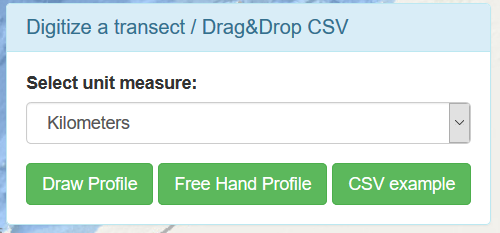
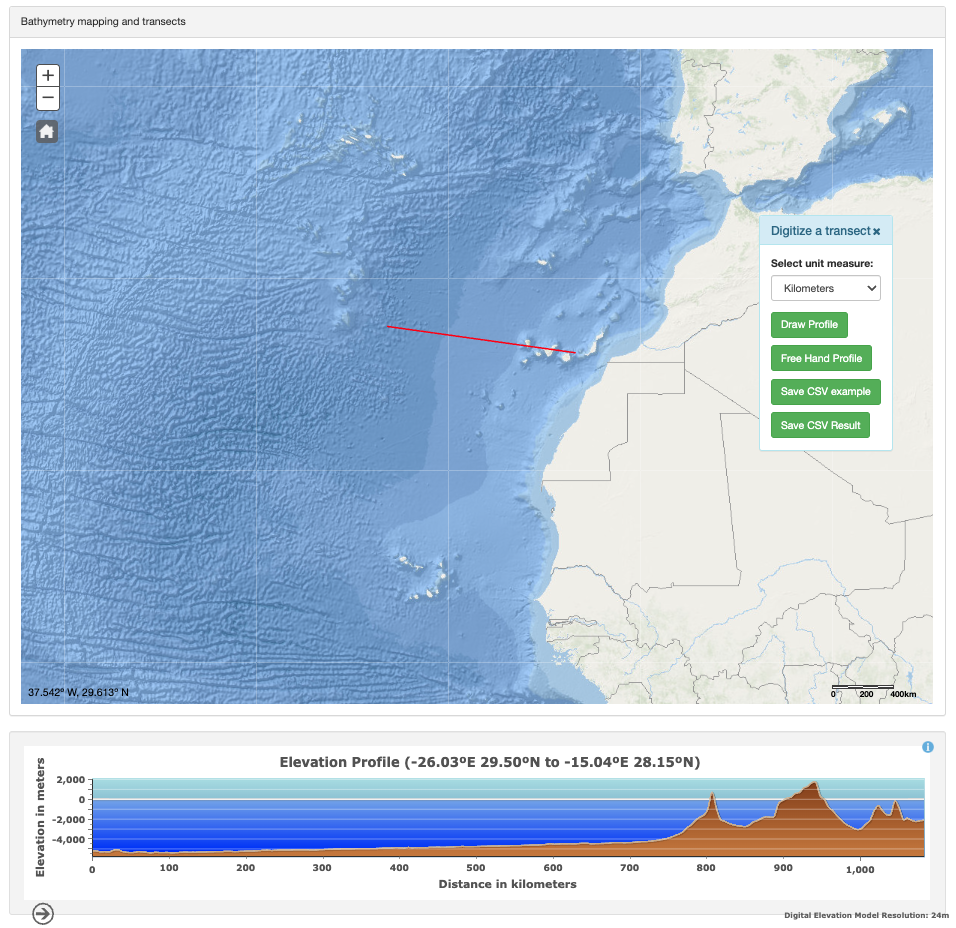
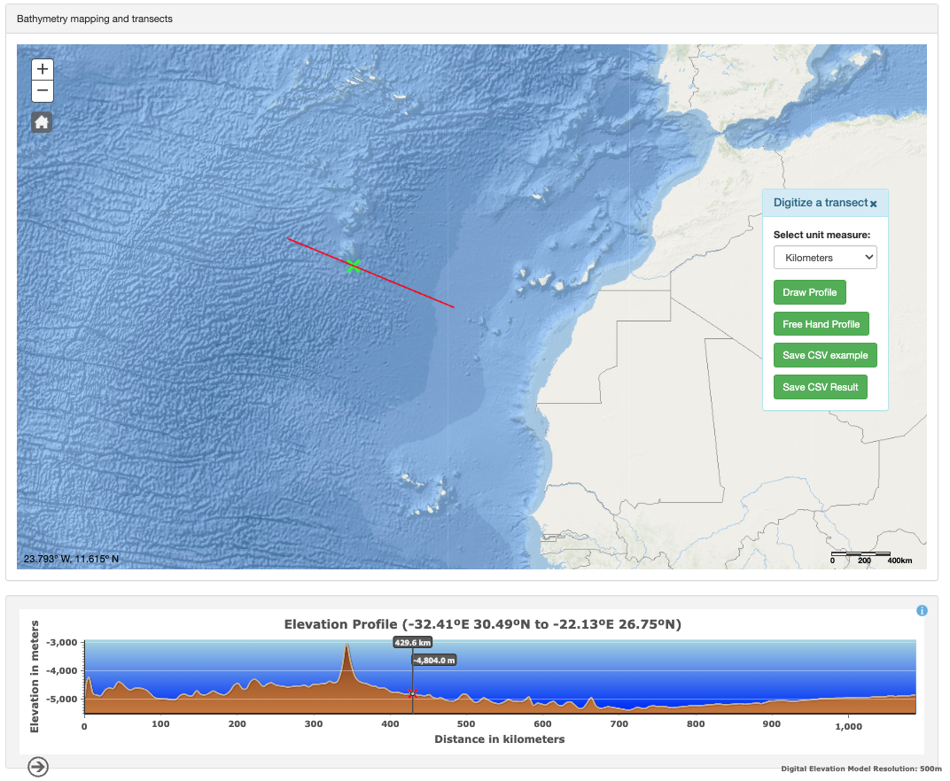
The analysis of the data using the CCLME Eco-GIS Viewer facilitates the study of the dynamics and trends of a multiplicity of variables to produce new and valuable information on changes produced during the last 45 years in this region, from climatic changes to shifts in species due to natural and human induced factors.
Further, the CCLME Eco-GIS Viewer also presents data products from open-access services that might be of interest to the researchers in the region, who are also allowed to use their own data.
The CCLME Eco-GIS Viewer and the mentioned databases, have been developed within the framework of a series of projects undertaken by the Intergovernmental Oceanographic Commission (IOC) of UNESCO in the region:
- "Enhancing oceanography capacities on CCLME Western African countries Phase II” (2015-2017): Development of the CCLME Eco-GIS Viewer.
- “Enhancing oceanography capacities in CCLME Western Africa countries Phase III” (2018-2020): Production of the CCLME Primary Production database.
- Invasive Alien Species and other ocean stressors: Furthering the scientific knowledge and capacity basis in the Canary Current Large Marine Ecosystem (2021-2024): Production of a CCLME Alien Species database; review and improvement of the CCLME Eco-GIS Viewer.
This series of projects have been funded by the Spanish Agency for International Development Cooperation (AECID).
The Spanish Institute of Oceanography (IEO-CSIC), a partner for this project, hosts the CCLME Eco-GIS Viewer in its servers.
Other project products:
Oceanographic and biological features in the Canary Current Large Marine Ecosystem
Inventory of Atmospheric, Hydrographic and Biological datasets in the Canary Current Large Marine Ecosystem (3rd Edition: Revised and Expanded)
About: IOC/UNESCO